
Transportation: Infrastructure That Moves with Intelligence

What We Help Transportation Agencies Do
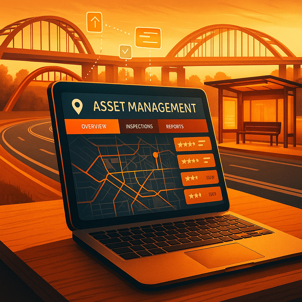
Digitize Asset & Infrastructure Management
We modernize how agencies track and maintain roads, bridges, transit stations, and vehicle fleets—with cloud-based tools that simplify inspections, maintenance scheduling, and capital planning.
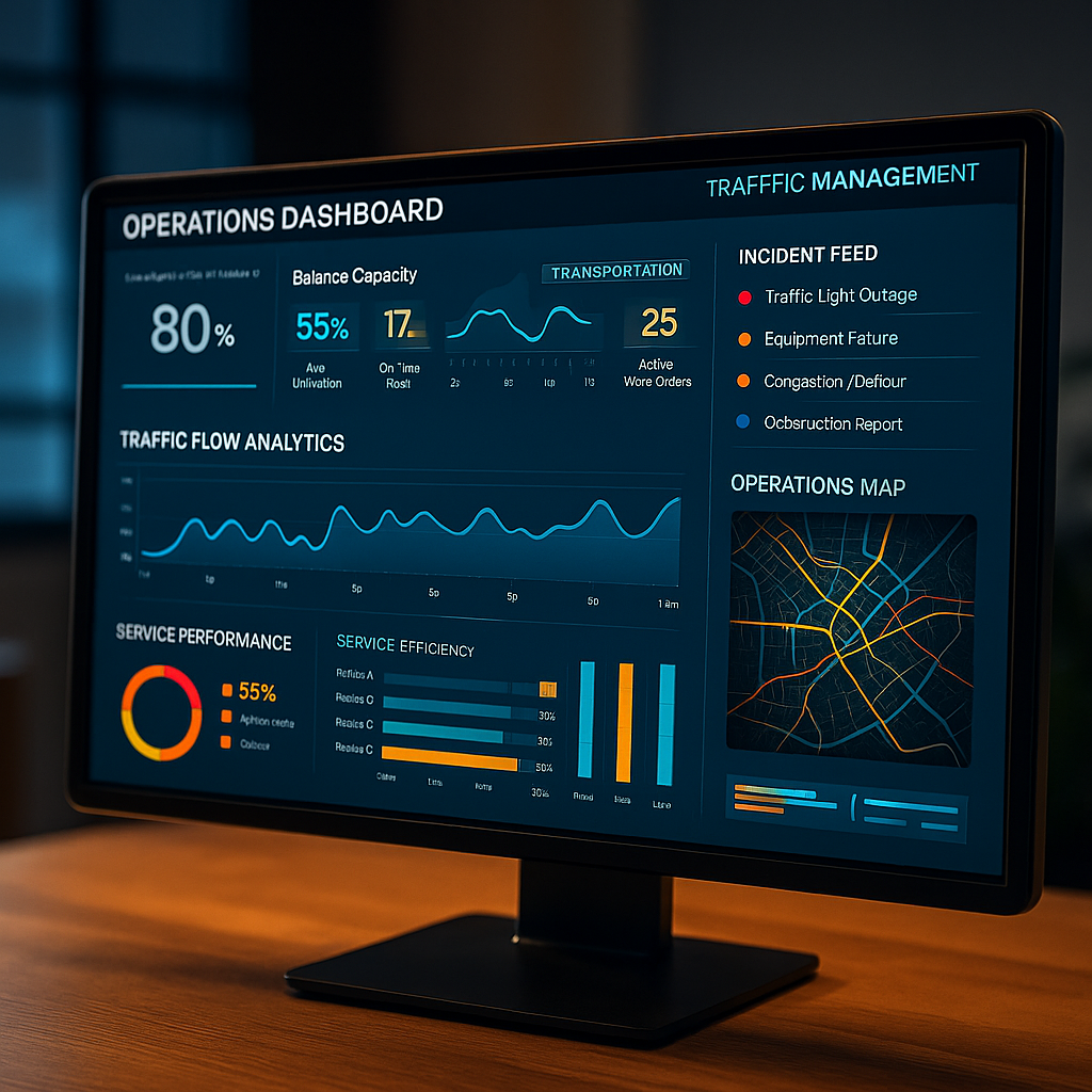
Enable Real-Time Operational Dashboards
We create dashboards that integrate data from multiple systems—giving agency leaders a live view of traffic flows, fleet performance, safety events, and service outages.
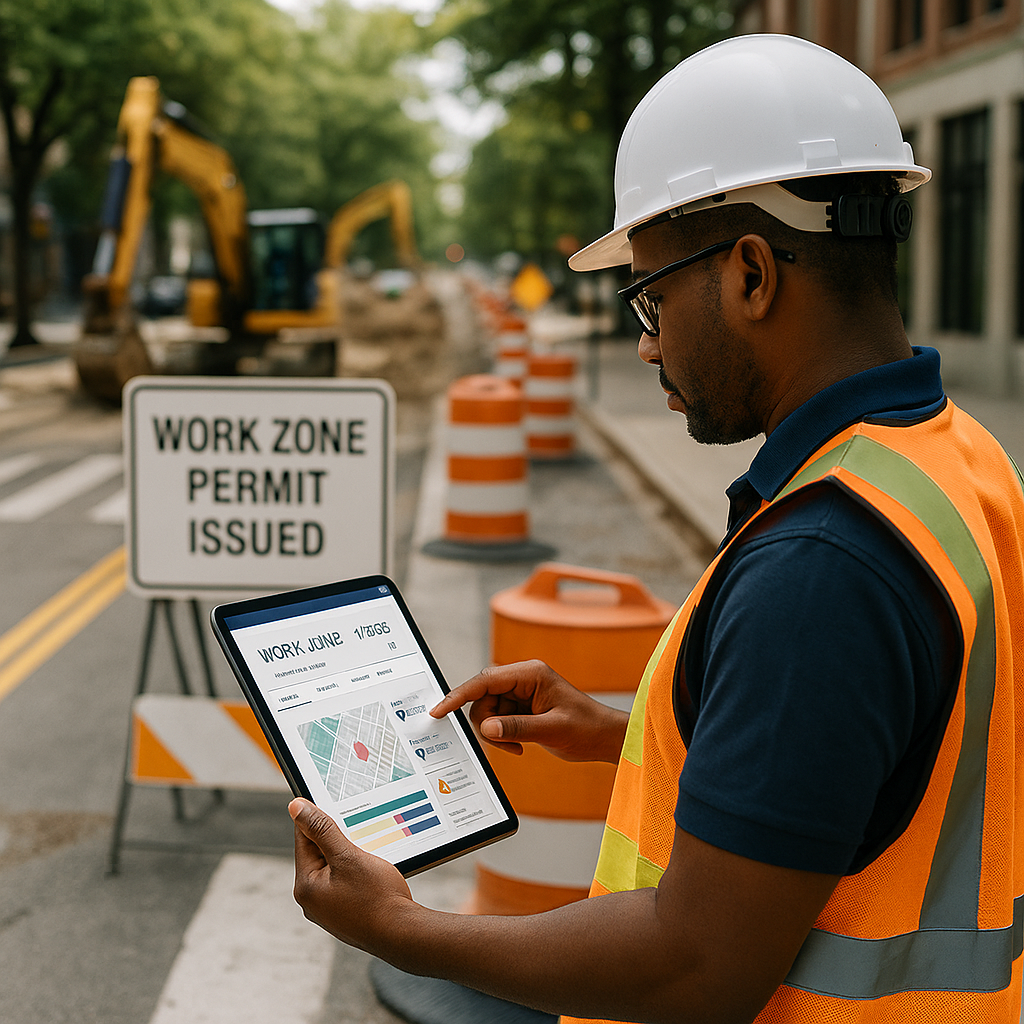
Modernize Permitting & Work Zone Coordination
We streamline permitting workflows for road closures, construction zones, and right-of-way access, reducing paperwork and minimizing conflict between departments and contractors.

Improve Public Interfaces for Mobility Services
We design user-friendly platforms for residents to access transit schedules, report issues, pay for parking or tolls, and receive construction updates—all WCAG-compliant and mobile-optimized.
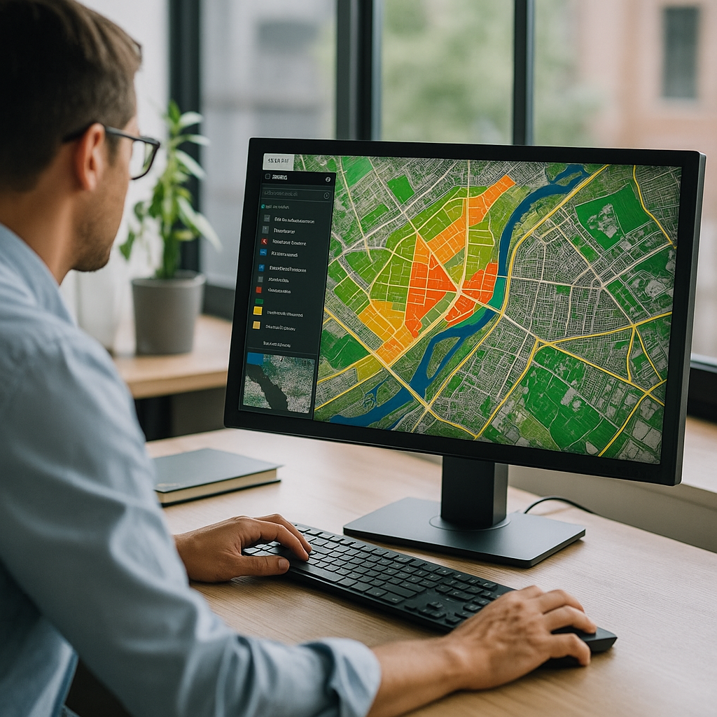
Integrate GIS & Spatial Planning Tools
We embed GIS layers into planning workflows so agencies can visualize infrastructure impact, coordinate projects, and inform the public more effectively.

Align Systems with Compliance & Reporting Needs
From FHWA and FTA reporting to state-level mandates, we help agencies capture the right data and generate reports that are accurate, timely, and audit-ready.
Smarter Transportation Starts with Smarter Systems
We help transportation agencies work more efficiently, plan more strategically, and communicate more clearly—because when systems move better, so does everything else.